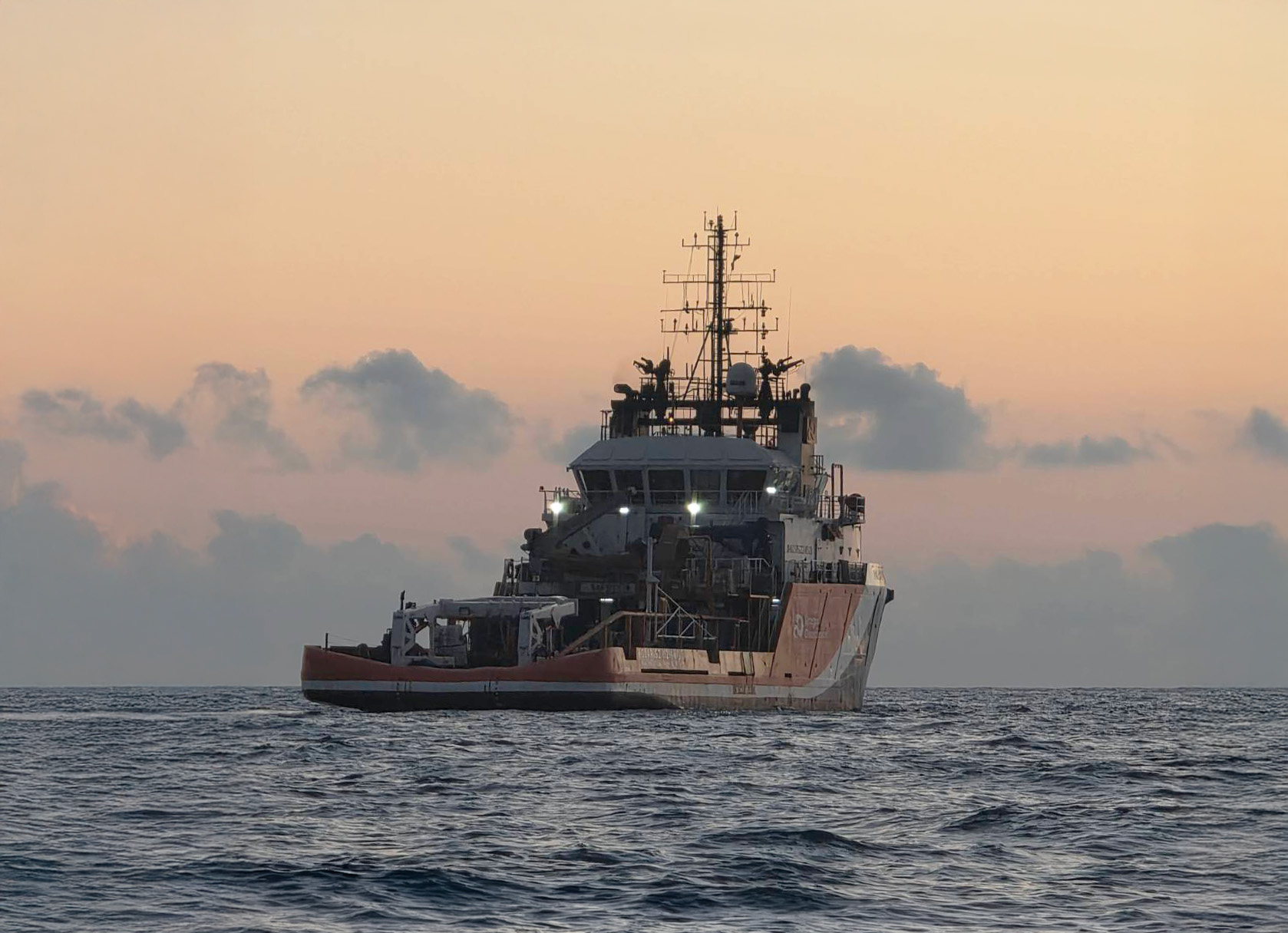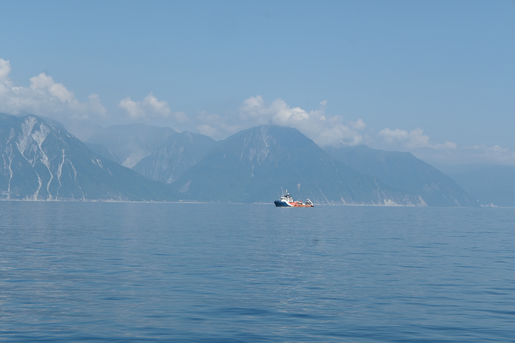
Dragon Geosciences recently deployed our survey vessel, Polaris 3, to conduct a critical multibeam bathymetric mission off Taiwan’s rugged eastern coastline. Operating against the stunning backdrop of the Qingshui Cliff, our team mapped the seabed from the continental shelf down to depths of thousands of meters, acquiring high-resolution, full-coverage topography data to support future marine environmental research.
To overcome the steep seabeds and unpredictable Pacific swells, we leveraged our deep-sea expertise to meticulously plan survey configurations and QA/QC procedures before departure. Powered by the Kongsberg EM302 multibeam system, our crew operated in 24/7 shifts, strictly executing every step—from data acquisition to preliminary processing—to the highest national bathymetric standards.
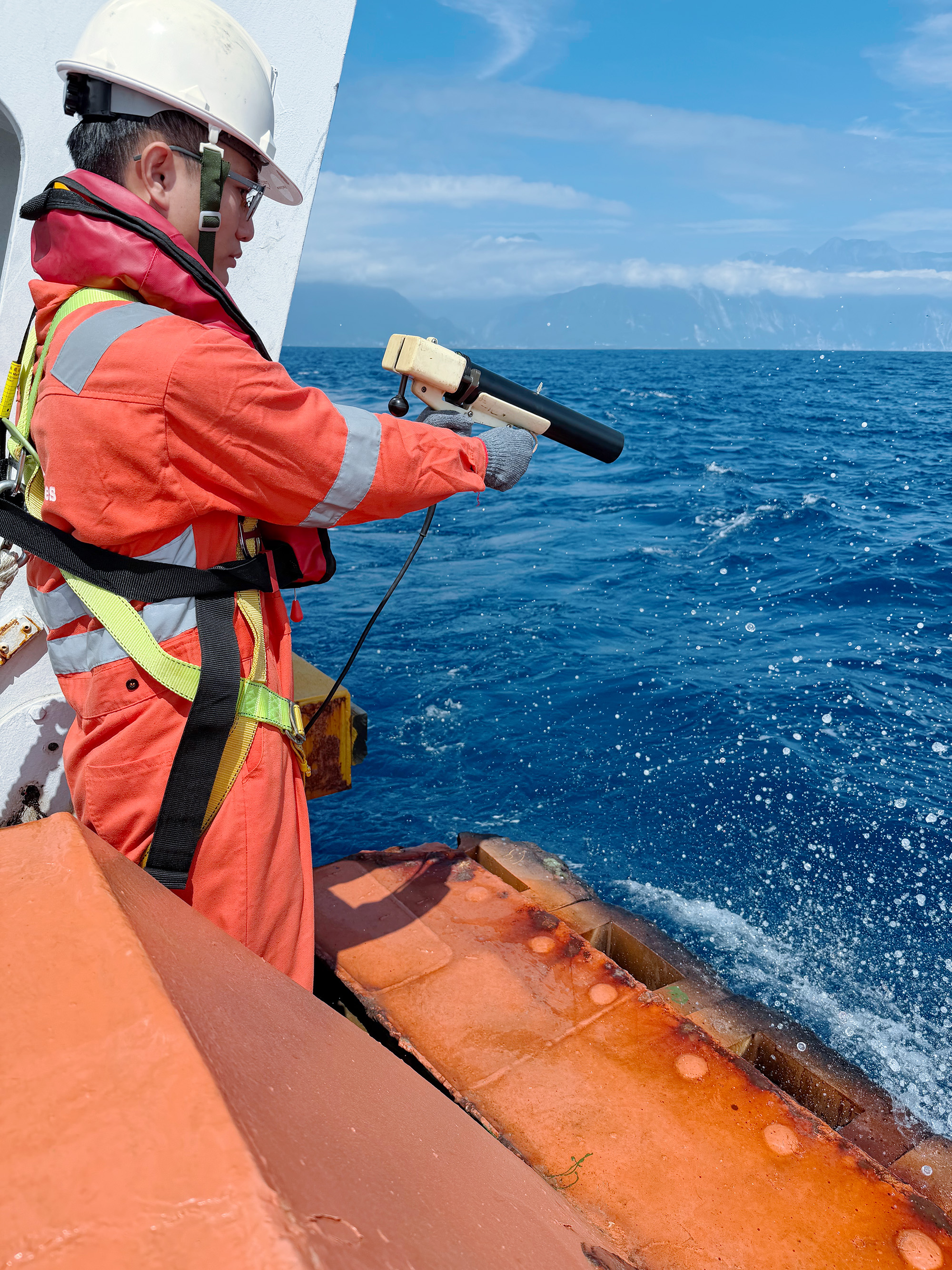
To ensure impeccable data quality and account for sound velocity variations in the water column, we continuously deployed XBTs day and night to update sound speed profiles. We are proud to deliver the precise seabed topography data vital for understanding the deep oceans surrounding Taiwan!